|
 |
 |
|
|
|
 |
|
 |
|
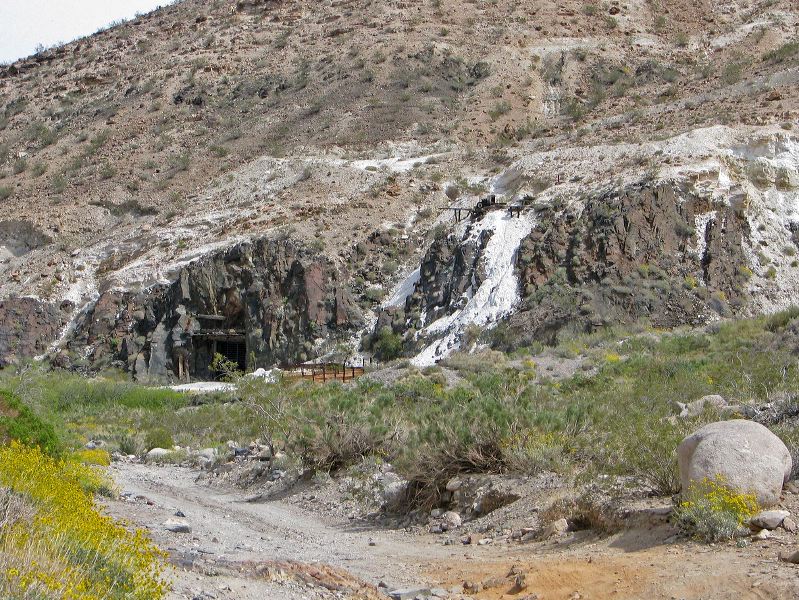
| Location: |
| • Latitude: N 035° 58' 08.10" |
• Longitude: W 116° 55' 53.49" |
• Altitude: 712.46m |
|
| Date: |
4/4/08 1:56:43 PM |
| W x H: |
2781 x 2086 |
| Albums: |
Death Valley 1, Day 7 photos, Warm Spring Camp, Warm Spring Talc Mine, Warm Spring Camp Web, Warm Spring Canyon Web |
|
|
|
|