11 of 17
Previous
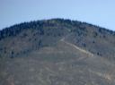
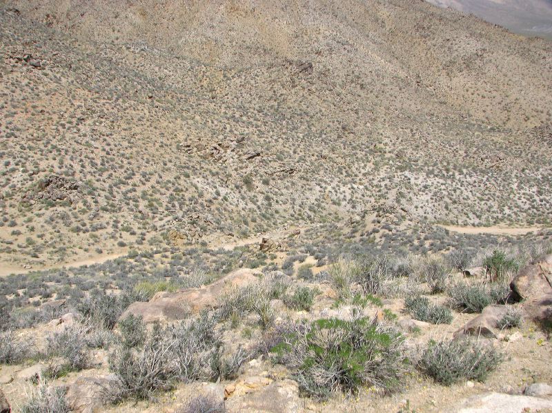
Warm Springs Canyon Road leaving Mengel Pass. This section is the roughest part of the trip--especially if heading uphill.
Next
Location:
• Latitude: N 035° 53' 59.75"
• Longitude: W 117° 04' 56.07"
• Altitude: 1,310.39m
Date:
4/4/08 11:43:13 AM
W x H:
3013 x 2259
Albums:
Death Valley 1, Day 7 photos, Mengel Pass, Mengel Pass Web