1 of 35
Previous
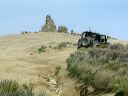
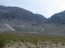
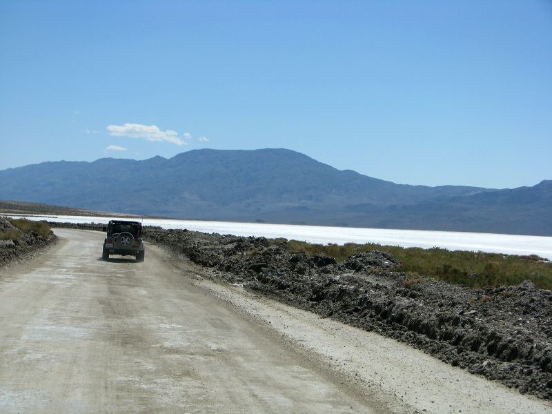
Headed South on Wingate Road toward Goler Canyon Road. (This photo was taken the day before.)
Next
Location:
• Latitude: N 036° 01' 16.20"
• Longitude: W 117° 13' 04.05"
• Altitude: 314.47m
Date:
4/3/08 1:43:09 PM
W x H:
3264 x 2448
Albums:
Death Valley 1, Day 6 photos, S.Park-Pleasant, South Park Canyon, Goler Canyon Web