2 of 56
Previous
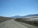
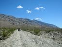
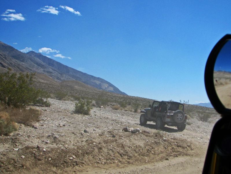
The unmarked turn from Wingate Road onto South Park Canyon road
Next
Location:
• Latitude: N 036° 00' 20.50"
• Longitude: W 117° 13' 07.91"
• Altitude: 313.03m
Date:
4/3/08 1:45:19 PM
W x H:
2701 x 2026
Albums:
Death Valley 1, Day 6 photos, S.Park-Pleasant, South Park Canyon Web, South Park Canyon