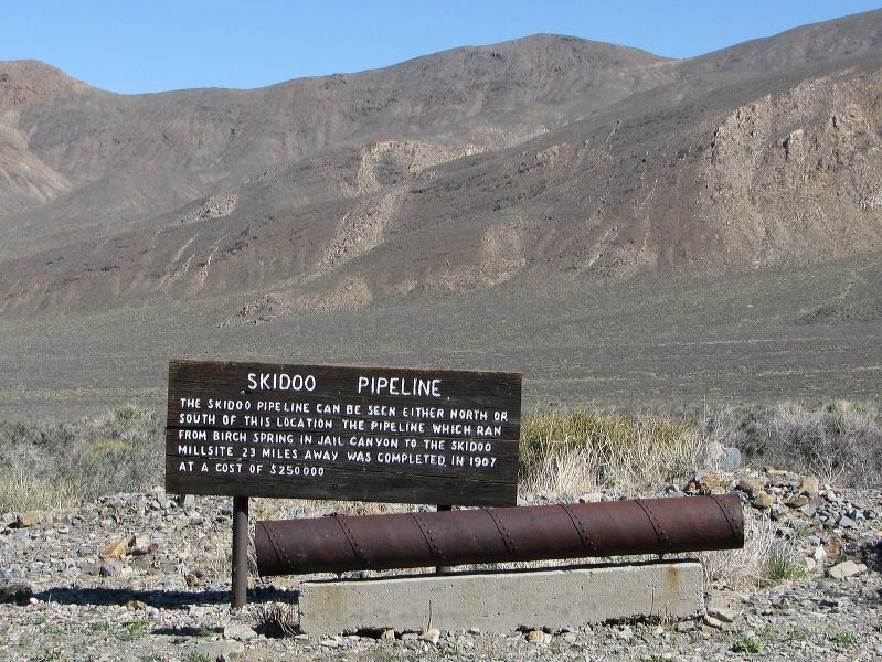
Skidoo Pipeline The Skidoo Pipeline can be seen either north or south of this location. The pipeline which ran from Birch Spring in Jail Canyon to the Skidoo Millsite 23 miles away was completed in 1907 at a cost of $250,000.
Next
Location:
• Latitude: N 036° 14' 53.48"
• Longitude: W 117° 08' 29.74"
• Altitude: 1,579.56m
Date:
4/3/08 10:19:49 AM
W x H:
2358 x 1769
Albums:
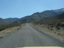
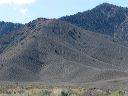
Death Valley 1, Day 6 photos, Emigrant-Wildrose, Wildrose Canyon Road, Mahogany Flat Road Web