18 of 19
Previous
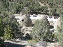
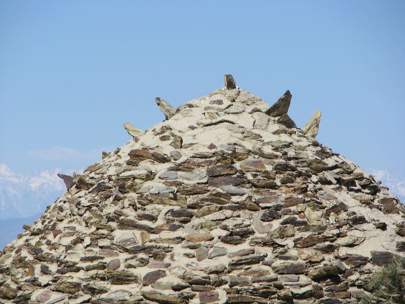
The kilns had rocks pointing out near the top. (A guess would be that they break up the wind flow.)
Next
Location:
• Latitude: N 036° 14' 45.06"
• Longitude: W 117° 04' 30.89"
• Altitude: 2,112.13m
Date:
4/3/08 10:48:50 AM
W x H:
3264 x 2448
Albums:
Death Valley 1, Day 6 photos, Emigrant-Wildrose, Wildrose Canyon Road, Kilns, Kilns Web