2 of 8
Previous
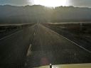
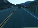
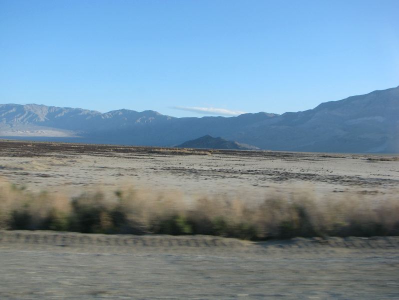
The Panamint Dunes and Lake Hill as seen from the south
Next
Location:
• Latitude: N 036° 20' 18.92"
• Longitude: W 117° 26' 13.29"
• Altitude: 500.01m
Date:
4/3/08 7:19:13 AM
W x H:
3173 x 2380
Albums:
Death Valley 1, Day 6 photos, CA 190 PSR to Stovepipe Wells, CA 190 PSR to Stovepipe Wells Web