3 of 19
Previous
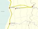
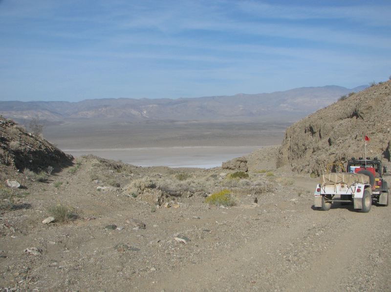
Looking down on the U-turn. The road to the bluff is at left. The Jeep is headed down to Wingate road and the slat flats.
Next
Location:
• Latitude: N 036° 00' 32.09"
• Longitude: W 117° 12' 23.49"
• Altitude: 455.79m
Date:
4/4/08 8:39:27 AM
W x H:
2945 x 2208
Albums:
Death Valley 1, Day 7 photos, Bluff Camping, Bluff Camping Web