|
 |
 |
|
|
|
 |
|
 |
|
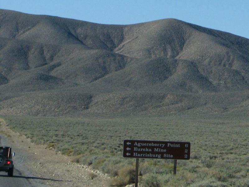
| Location: |
| • Latitude: N 036° 21' 48.06" |
• Longitude: W 117° 08' 05.10" |
• Altitude: 1,511.31m |
|
| Date: |
4/3/08 8:46:17 AM |
| W x H: |
1423 x 1067 |
| Albums: |
Death Valley 1, Day 6 photos, Emigrant-Wildrose, Aguereberry Point, Aguereberry Point Web, Emigrant Canyon Road, Emigrant Canyon Road Web |
|
|
|
|