|
 |
 |
|
|
|
 |
|
 |
|
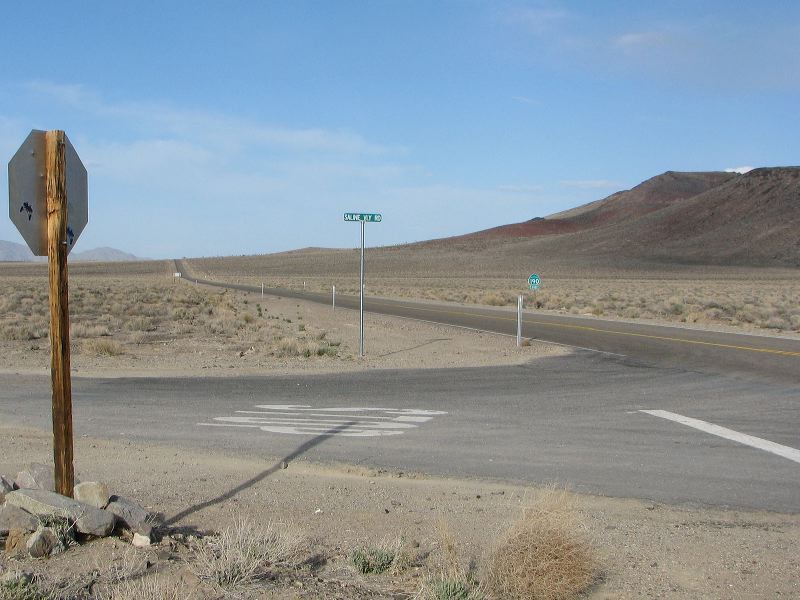
| Location: |
| • Latitude: N 036° 21' 50.30" |
• Longitude: W 117° 37' 33.45" |
• Altitude: 1,485.35m |
|
| Date: |
4/2/08 5:20:59 PM |
| W x H: |
2372 x 1779 |
| Albums: |
Death Valley 1, Day 5 photos, Hunter Mountain Road, CA 190 to Panamint Springs, Hunter Mountain Road Web, CA 190 and Father Crowley Point Web |
|
|
|
|