3 of 21
Previous
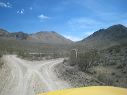
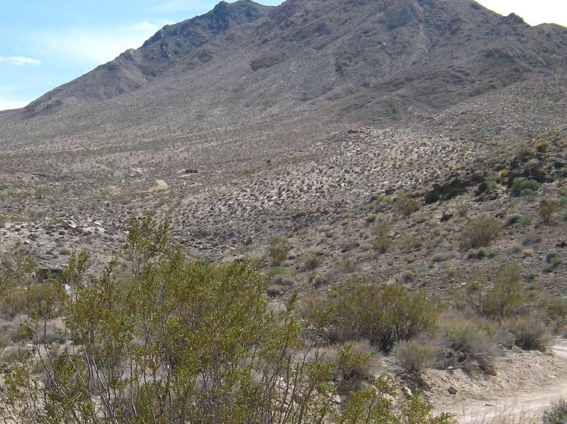
The road continues to the old mill site for the Lippincott mine.
Next
Location:
• Latitude: N 036° 38' 27.49"
• Longitude: W 117° 34' 30.61"
• Altitude: 1,155.62m
Date:
4/2/08 2:12:25 PM
W x H:
1505 x 1128
Albums:
Death Valley 1, Day 5 photos, Lippincott Road, Homestake Dry Camp Web