19 of 19
Previous
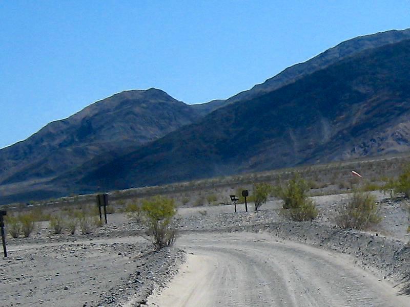
The sign at right warns about driving onto the airport runway which is just off this turn. Note the windsock.
Next
Location:
• Latitude: N 036° 36' 31.93"
• Longitude: W 117° 10' 14.26"
• Altitude: 1.32m
Date:
4/1/08 12:18:57 PM
W x H:
800 x 600
Albums:
Death Valley 1, Day 4 photos, Cottonwood/Marble Canyon, Cottonwood Canyon, Cottonwood Canyon Web