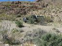
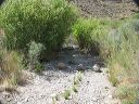
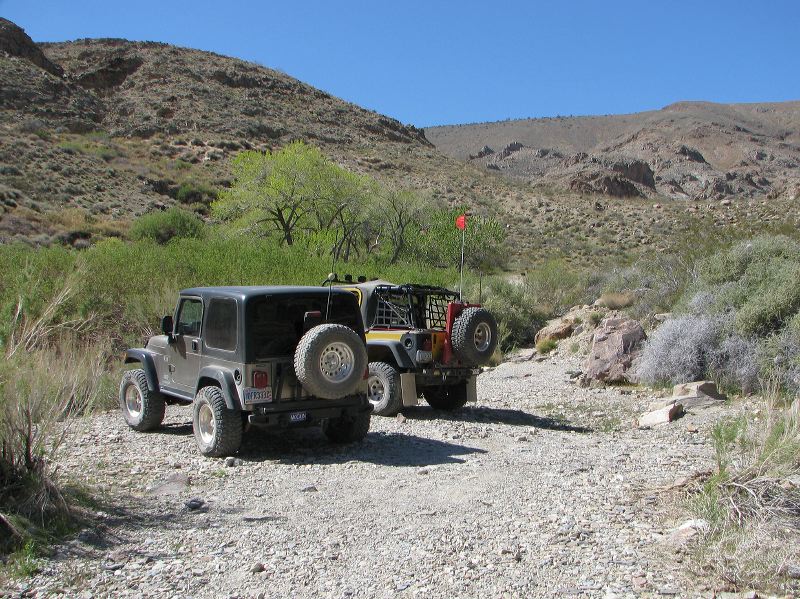
End of the road at Wilson Spring below Hungry Bills Ranch. It's a 2 mile hike to the ranch where there's an old orchard and fields where produce was grown to feed miners in Panamint City.
Next
Location:
•Latitude: N 036° 05' 19.68"
•Longitude: W 117° 00' 23.31"
•Altitude: 1,164.27m
Date:
3/31/08 2:33:22 PM
W x H:
2838 x 2128
Albums:
Death Valley 1, Johnson Canyon Road, Johnson Canyon Road Web