14 of 42
Previous
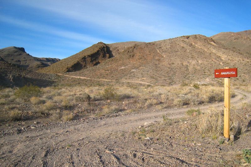
This road to Amargosa is supposed to be the roughest 4WD road in the park due to a dry water fall.
Next
Location:
•Latitude: N 036° 29' 44.91"
•
Longitude: W 116° 42' 49.81"
•Altitude: 1,041.23m
Date:
3/31/08 6:03:44 PM
W x H:
2693 x 1792
Albums:
Death Valley 1, Inyo Mine, Inyo Mine Web