2 of 12
Previous
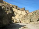
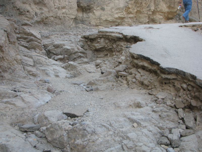
The roughest section of the hike is a short section at the beginning. After that it's an easy smooth route.
Next
Location:
•Latitude: N 036° 25' 14.86"
•
Longitude: W 116° 50' 48.13"
•Altitude: 50.82m
Date:
3/31/08 4:44:15 PM
W x H:
3264 x 2448
Albums:
Death Valley 1, Golden Canyon, Golden Canyon Web