8 of 8
Previous
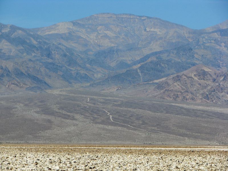
One of the side roads headed west from the West Side road up a canyon. It's either Trail Canyon Road or Hanaupah Canyon Road.
Next
Location:
•Latitude: N 036° 17' 14.69"
•
Longitude: W 116° 49' 36.98"
•Altitude: 87.83m
Date:
3/31/08 10:20:03 AM
W x H:
3264 x 2448
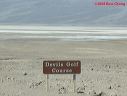
Albums:
Death Valley 1, Devils Golf Course, Devils Golf Course Web