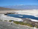
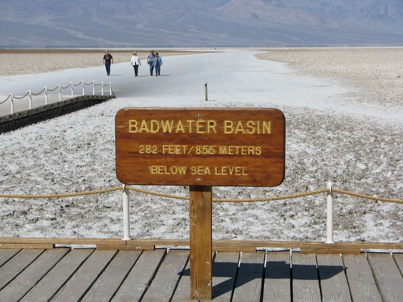
The real low point is 3.2 miles from here and is marked by a small rock painted with "-282" and a small plaque wrapped in a plastic bag. The low point coordinates are reported to be: N36 14.515 W116 49.528 For more info see: http://www.death-valley.net/forum/viewtopic.php?t=20909 There are several similar threads on death-valley.net.
Next
Albums:
Death Valley, Death Valley 1, Badwater Basin, Badwater Basin Web