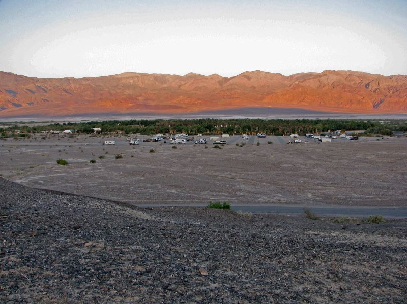
Sunset Campground--the trees are along the highway. It's more like a parking lot than a campground. The closest primitive sites to Furnace Creek are close to an hour's drive away. See the Park Service's Back Country Roads map. Area's outside the yellow highlights are available for primitive camping.
Next
Location:
•Latitude: N 036° 27' 35.68"
•Longitude: W 116° 51' 56.57"
•Altitude: 52.75m
Date:
3/31/08 6:57:12 AM
W x H:
3051 x 2288
Albums:
Death Valley 1, Sunset campground, Furnace Creek, Furnace Creek Web