25 of 29
Previous
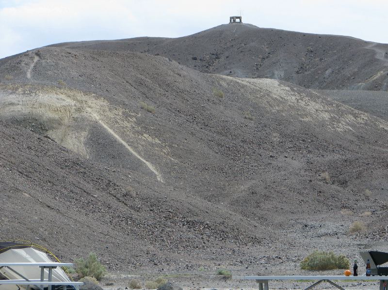
What's the structure on top of the hill? The Furnace Creek Inn is off to the right.
Next
Location:
•Latitude: N 036° 27' 35.06"
•
Longitude: W 116° 51' 24.36"
•Altitude: 43.61m
Date:
3/30/08 1:03:15 PM
W x H:
2693 x 2019
Albums:
Death Valley 1, Furnace Creek, Furnace Creek Web