7 of 7
Previous
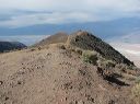
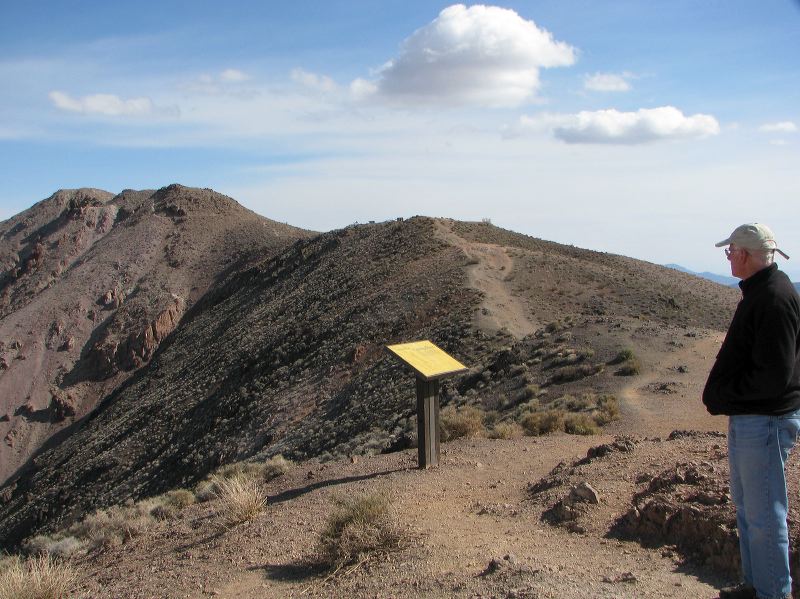
A hiking trail leaves from the north end of the parking lot to Dante's Peak and then follows a very rough route down into Bad Canyon.
Next
Location:
•Latitude: N 036° 13' 12.67"
•
Longitude: W 116° 43' 34.69"
•Altitude: 1,659.35m
Date:
3/30/08 9:54:02 AM
W x H:
3051 x 2288
Albums:
Death Valley 1, Dante's View, Dante's View Web