5 of 6
Previous
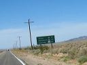
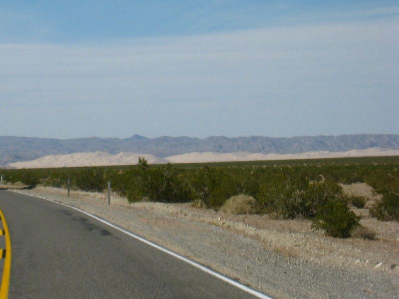
The Dumont Dunes are off to the right on route CA 127 between Baker and Shoshone
Next
Location:
•Latitude: N 035° 31' 27.91"
•
Longitude: W 116° 10' 40.71"
•Altitude: 200.56m
Date:
3/29/08 3:47:49 PM
W x H:
1778 x 1333
Albums:
Death Valley 1, Drive Up, Drive Up Web